
Research & Data
Hydrology research and open data
Research by Daniel Kovacek examines how information can be transferred between monitored and unmonitored catchments, and how uncertainty affects streamflow prediction and monitoring-network decisions. This page summarizes the research and links to the papers and data records that host the authoritative materials.
Doctoral research: information transfer under uncertainty
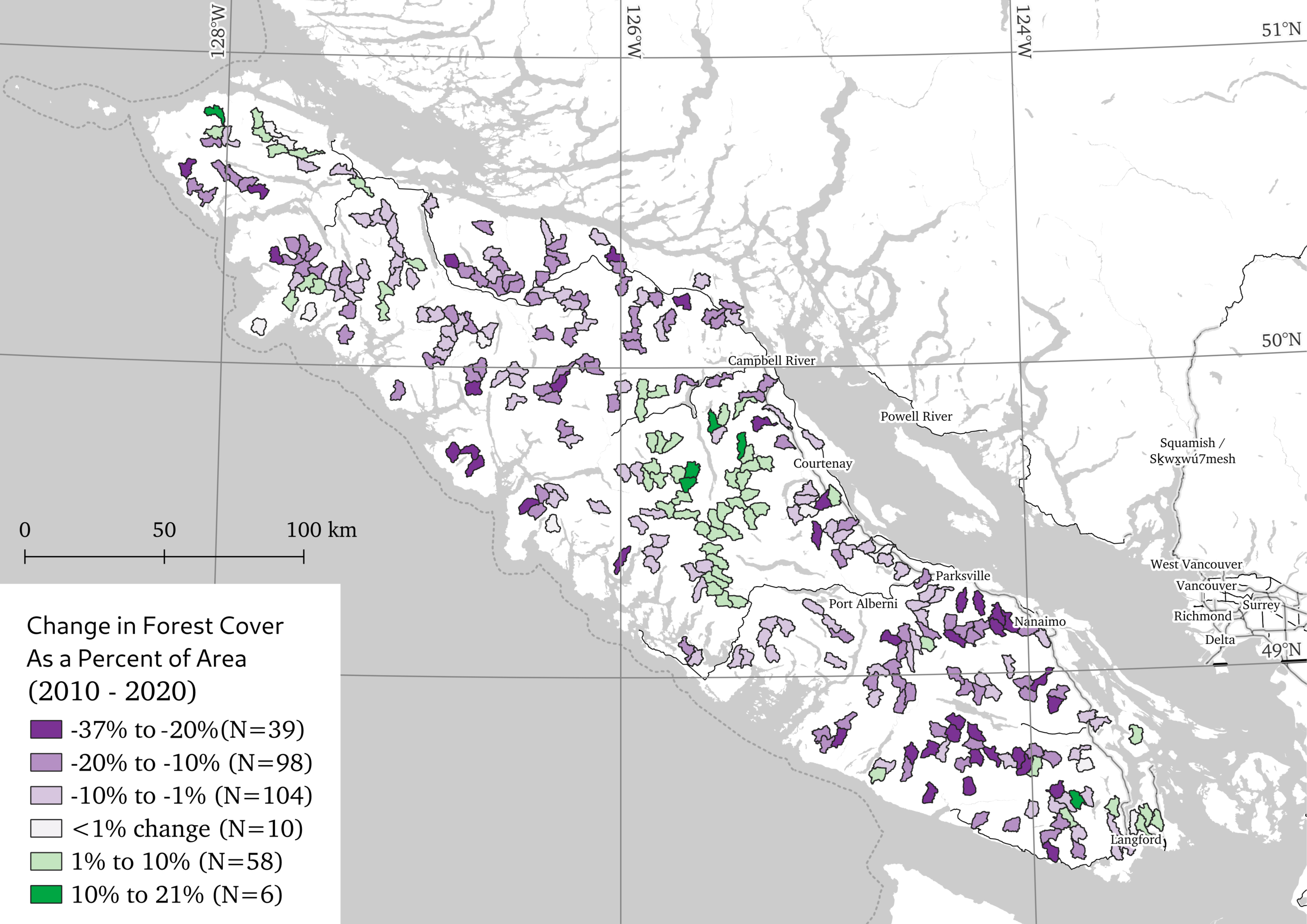
The thesis frames prediction in ungauged basins as an information-transfer problem. It studies river-discharge magnitude and frequency across the Pacific Northwest of North America and tests foundational assumptions in broader global regions.
The work establishes catchment descriptors and a framework for documenting data quality. It then examines assumptions in streamflow-distribution estimation and compares flow-duration-curve predictions from catchment-based parametric models, k-nearest-neighbour donor transfer, and long short-term memory neural networks.
The thesis reframes monitoring-network evaluation as estimating the information value of locations for reducing uncertainty across the ungauged region. It identifies sparse sampling of location pairs and limited coverage of high-dimensional catchment attributes as challenges for prediction and uncertainty calibration.
View the thesis record at UBC. Consult the repository record for the formal title, date, and citation.
BCUB: ungauged-basin attributes
The BCUB paper describes an open, extensible dataset of terrain, soil, land-cover, and climate attributes for more than 1.2 million ungauged catchments in British Columbia and transboundary regions. The dataset is intended to support water-resource research and practice, including monitoring-network analysis and hydrological modelling where basin attributes inform model calibration.
Paper: Daniel Kovacek and Steven Weijs, 2025, BCUB – a large-sample ungauged basin attribute dataset for British Columbia, Canada, Earth System Science Data, 17, 259-275.
The Borealis record lists version 3.0 and a CC BY 4.0 licence. Access the BCUB dataset record for current files and documentation. The record includes 52 variables and more than 1.26 million observations. Catchment attributes are not measured streamflow records or calibrated predictions.
Daymet-derived meteorological forcings
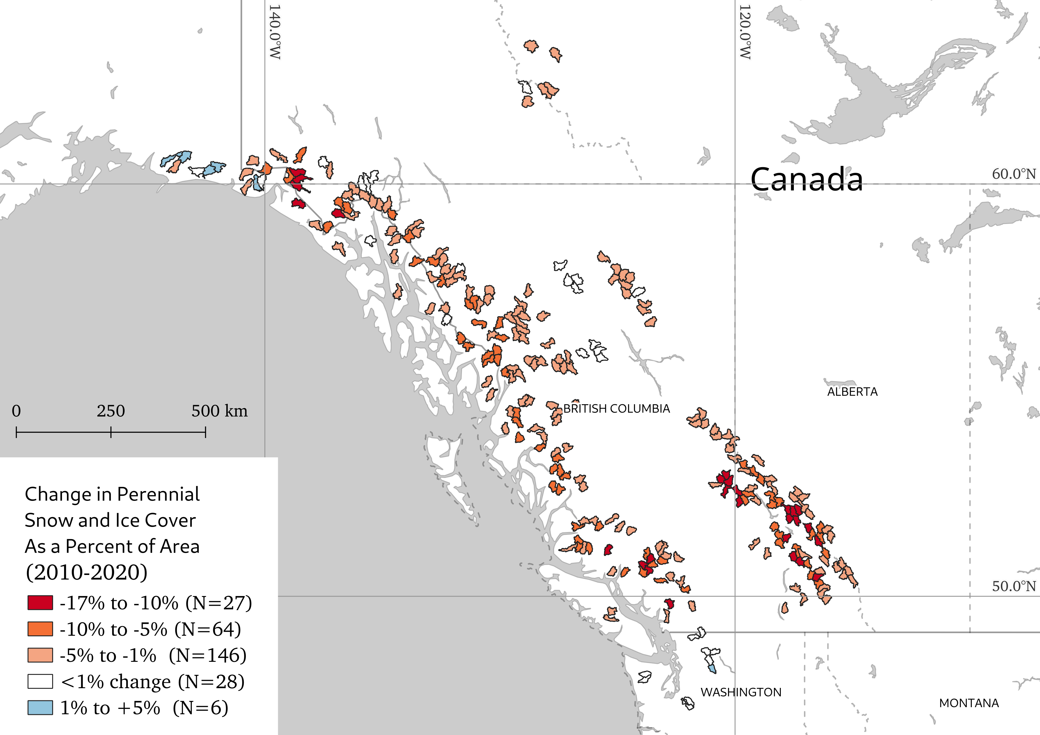
This dataset provides processed catchment-averaged Daymet meteorological forcings for streamflow-monitored catchments in British Columbia and transboundary basins. The Borealis record lists version 2.0 and a CC BY-SA 4.0 licence. Check the record and metadata for the current files, variables, coverage, citation, and use terms.
Access the Daymet-derived dataset and its metadata. Replication code is available in the process_metforcings repository.
Data quality and applied work
The thesis abstract describes Camel Farrier as a conceptual framework for automated, interactive quality documentation of environmental data products. Refer to the thesis record for context. This page does not present Camel Farrier as a supported product or consulting service.
For consulting, DK Hydrotech can assess water availability, integrate observed or forecast climate products into decision systems and operations models, and explain the uncertainty that affects the result. Learn about water-resource assessment.
Discuss an applied question
For research access, use the linked repository records. For an applied water-resource or hydropower decision, describe the question, location, and available data.